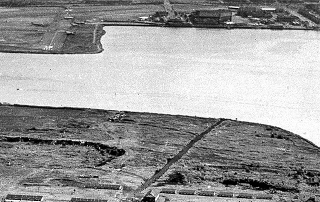
 The 2nd 1948 Rikers virtual tour close-up is to the immediate right of the 1st. It shows across the top a continuation of LaGuard Airport, including a few planes visible. On the Rikers side of East River Bowery Bay waters, note the farm structures along the bottom of the image. Veteran current and former NYC DOC staffers and others who can correct, refine, enhance and increase the information in the close-up image caption above are invited to do so. Include the close-up's virtual tour image number in your e-mail to the webmaster@correctionhistory.org |
2nd of 14 detail views of 1948 Rikers Island aerial photo
To NYCHS home page |